Ever wondered how meteorologists seem to know when it’s going to rain cats and dogs? Spoiler alert: they’re not just guessing! The secret lies in the incredible technology orbiting our planet, silently collecting data on weather, climate, and environmental changes. These space-savvy gadgets are like the ultimate snoopers, giving us a front-row seat to Earth’s ever-changing moods.
Overview of Space-Based Data Collection Technologies
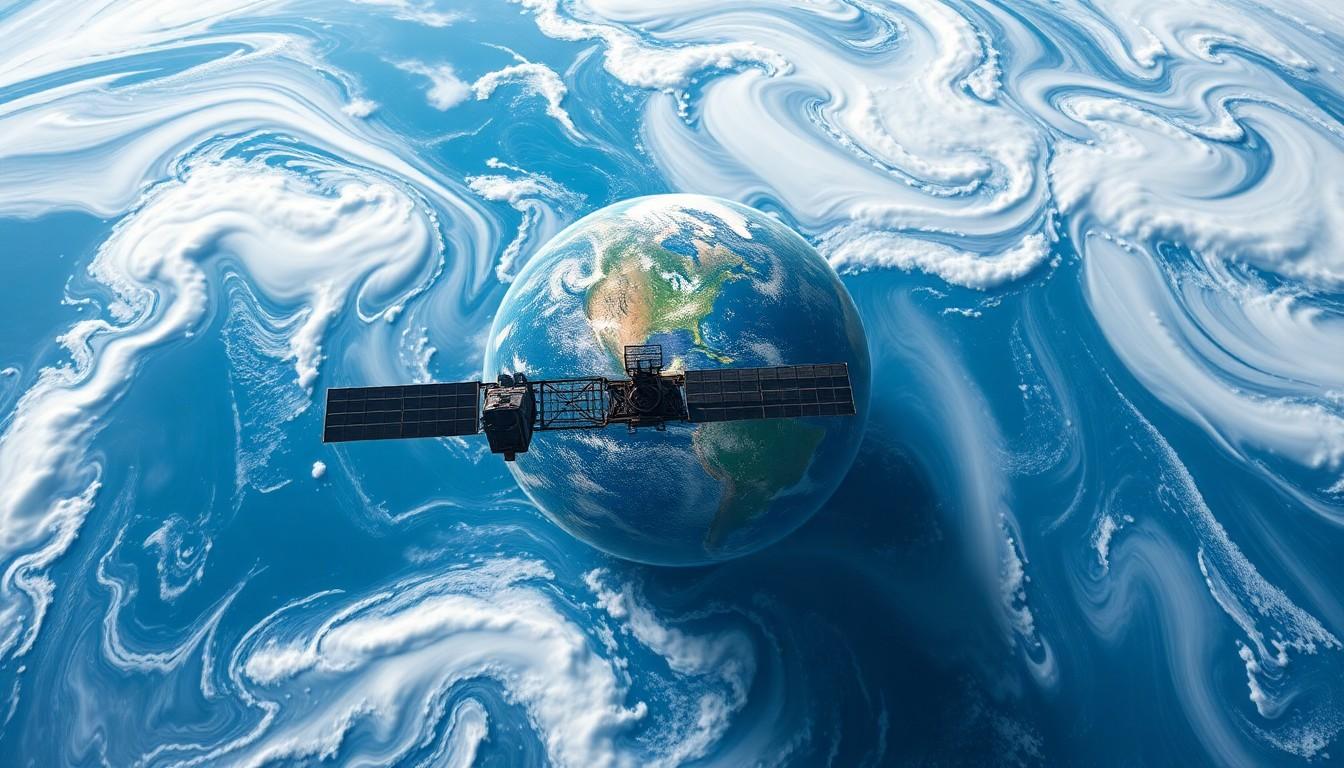
Satellites equipped with advanced instruments collect vital data on weather, climate, and environmental changes from space. These satellites utilize remote sensing technology to monitor atmospheric conditions, land use, and oceanographic features. Multi-spectral imaging and radar systems capture detailed information on temperature, humidity, and cloud cover.
Earth-observing satellites like NASA’s Landsat program play a critical role in providing continuous data. They offer images that aid in assessing land cover changes and urban development trends. Additionally, missions like the European Space Agency’s Sentinel series focus on monitoring environmental parameters through various lenses.
Advanced sensors such as microwave sounders deliver accurate measurements of temperature and moisture profiles in the atmosphere. Weather satellites, like the GOES (Geostationary Operational Environmental Satellites), provide real-time data for tracking severe weather events. This capability enhances forecasting accuracy significantly.
Technologies implementing light detection and ranging (LiDAR) allow for precise altitude and topographical measurements. These measurements contribute to understanding climate change’s impacts on natural landscapes. Moreover, satellites like the Atmospheric Infrared Sounder (AIRS) measure greenhouse gas emissions, shedding light on air quality issues.
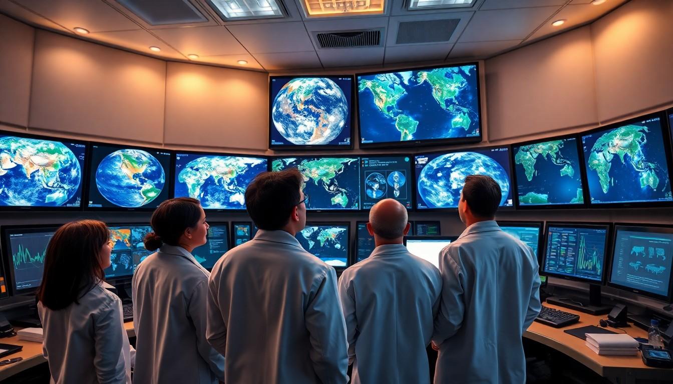
Data from these technologies is then relayed to ground stations, where it undergoes analysis. Scientists interpret this data to identify patterns and trends, enabling proactive environmental management. With comprehensive data gathering from multiple sources, improved decision-making for global sustainability becomes feasible.
Remote Sensing Technologies
Remote sensing technologies play a vital role in collecting data for weather, climate, and environmental monitoring from space. These technologies enable scientists to gather and analyze crucial information that informs effective decision-making.
Satellite Imagery
Satellite imagery captures high-resolution photographs of Earth’s surface. Various satellites utilize multiple spectral bands to monitor changes in vegetation and land cover. Operational satellites, such as those in NASA’s Landsat program, provide valuable long-term data on urban development trends. Cloud cover and atmospheric conditions can be analyzed through satellite images, helping meteorologists predict weather patterns. Additionally, imaging satellites contribute to disaster management by assessing damage from natural events like hurricanes and floods.
Radar Systems
Radar systems offer real-time data on precipitation and atmospheric conditions. These systems emit radio waves to detect weather phenomena, such as rain, snow, and wind speed. Doppler radar, for instance, measures the movement of precipitation particles, allowing forecasters to identify storm rotation and potential tornado development. Integrating radar data with satellite observations enhances accuracy in short-term forecasting, enabling timely alerts for severe weather events. Moreover, radar technologies are instrumental in monitoring oceanographic conditions, aiding in climate change studies.
In Situ Monitoring Technologies
In situ monitoring technologies play a crucial role in collecting data for weather, climate, and environmental monitoring. These methods provide essential ground-level measurements that complement satellite observations.
Weather Balloons
Weather balloons gather atmospheric data at various altitudes. Equipped with instruments, they measure temperature, humidity, and pressure. Meteorologists release these balloons globally, typically reaching altitudes of 20 miles. Regular data collection every 12 hours ensures consistent information on weather patterns. This information assists in assessing conditions like storm systems and jet stream dynamics.
Ground Stations
Ground stations provide critical infrastructure for data collection and transmission. They receive signals from satellites, ensuring communication remains intact. These stations also conduct independent measurements, including air quality and temperature readings. By strategically placing them across diverse geographical locations, researchers enhance their understanding of local climate variations. Extensive networks of ground stations contribute significantly to modeling climate change impacts.
Data Transmission and Processing
Satellite data transmission occurs through established communication systems that ensure real-time data flow from space to Earth. Satellites equipped with advanced communication technology relay data to ground stations for immediate processing and analysis.
Satellite Communication
Communications satellites facilitate the transfer of data collected from various environmental monitoring instruments. Ground stations receive signals via antennas, allowing for quick data transmission, often within mere seconds. These systems use high-frequency bands to transmit extensive datasets regarding weather patterns, atmospheric conditions, and climate changes. Moreover, multiple satellites work in tandem to provide comprehensive coverage, ensuring no critical information is overlooked. Through coordinated efforts, satellite constellations enhance global monitoring capabilities and contribute significantly to timely weather forecasting.
Data Analysis Techniques
Data analysis techniques play a crucial role in interpreting the vast amounts of information gathered from satellite observations. Advanced algorithms process raw data, identifying patterns and trends in climate and weather. Meteorologists utilize machine learning models to enhance prediction accuracy, utilizing historical datasets while applying them to current observations. Statistical analyses further refine forecasts, integrating diverse data sources such as satellite imagery and ground station measurements. Environmental scientists also focus on visualization tools that present data in accessible formats, improving understanding of climate dynamics. By leveraging sophisticated techniques, experts develop actionable insights essential for effective climate management.
Applications of Collected Data
Collected data from space-based technologies serves several vital applications, impacting weather predictions, climate insights, and environmental assessments.
Weather Forecasting
Weather forecasting relies heavily on data from satellites, which deliver real-time information about atmospheric conditions. Meteorologists utilize this data to assess cloud formations, precipitation, and storm development. Satellite imagery enhances short-term forecasts, contributing to timely alerts for severe weather events. Doppler radar systems aid in tracking storm movements and identifying potential tornadoes, increasing forecasting precision. Real-time data acquisition enables immediate updates to forecasts, improving public safety.
Climate Research
Climate research significantly benefits from satellite data, which provides a comprehensive view of Earth’s changing climate. Scientists analyze long-term trends in temperature, precipitation patterns, and ice cover through multi-spectral imaging. This data enables effective modeling of climate change impacts, helping researchers to predict future scenarios. Understanding these patterns facilitates informed policy decisions and climate action. Advanced sensors track greenhouse gas concentrations, contributing crucial information to climate agreements and sustainability efforts.
Environmental Monitoring
Environmental monitoring employs satellite data to track various ecological changes. Land cover shifts, vegetation health, and water quality assessments utilize high-resolution satellite imagery. Continuous monitoring allows for the evaluation of natural disasters and human activities on the environment. Ground-based observations complement satellite data, enhancing the overall understanding of local ecosystems. Policymakers can use these insights to implement effective environmental management strategies.
The advancements in space-based technology have transformed the way data is collected for weather, climate, and environmental monitoring. With satellites and remote sensing instruments at the forefront, meteorologists now have access to a wealth of real-time information that enhances forecasting accuracy and supports climate research.
These technologies not only improve predictions but also play a crucial role in disaster management and environmental sustainability. By integrating satellite data with ground-level measurements, a comprehensive understanding of Earth’s systems emerges. As these technologies continue to evolve, their impact on global weather forecasting and climate insights will only grow, paving the way for more effective responses to environmental challenges.